SOURCE: AFI
A recent event in the Middle East highlights the importance of independent navigation systems. As reported, Israel jammed GPS signals within its territory to counter a potential missile attack from Iran. This episode serves as a reminder of the strategic value of a robust, domestic navigation system, a concept India well understands.
In 1999, during the Kargil War with Pakistan, India faced a critical situation. Denied access to crucial GPS data by the US, India recognized the vulnerability of relying solely on foreign navigation systems.
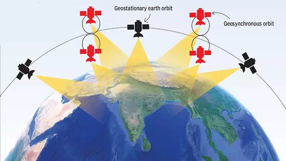
This incident served as a catalyst for India’s space agency, ISRO (Indian Space Research Organisation), to develop its own navigation system – NavIC (Navigation with Indian Constellation). Launched in 2016, NavIC offers several advantages:
- Autonomy: Freedom from dependence on foreign GPS data ensures continued functionality even during international disputes or technical glitches.
- Precision: NavIC provides accurate positioning and timing services over India and a vast surrounding region.
- Dual-Use Potential: The system caters to both civilian applications like navigation apps and strategic military uses.
While NavIC offers standard positioning services for everyday use, it also provides restricted services for the Indian military. This ensures reliable navigation and targeting capabilities during critical operations, even in scenarios where GPS might be compromised.
India’s experience with NavIC underscores the importance of a domestic navigation system. It empowers a nation to navigate freely and strategically, independent of external influences. The Israeli example further reinforces the concept’s relevance in the modern world.