SOURCE: AFI
The 14th edition of the Indo Pacific Geo Intelligence Forum underscored the growing importance of geospatial intelligence in modern warfare. Lt. Gen. RS Raman, Director General Military Intelligence of the Indian Army, emphasized that geospatial is not merely a technology, but rather a constantly evolving ecosystem.
Lt. Gen. Raman highlighted the critical role of geospatial information in enriching traditional maps. By “tethering maps with geospatial information,” the military can gain a deeper understanding of operational environments, leading to improved decision-making.
The forum also recognized the limitations of traditional digital elevation models (DEMs). Lt. Gen. Raman stressed the need for virtual reality (VR) models, which provide a more immersive and comprehensive view of the battlefield. This enhanced visualization capability can be instrumental in strategic planning and mission execution.
Gen. VK Singh, Former Indian Army Chief, echoed the importance of leveraging the full spectrum of geospatial intelligence applications. This includes utilizing artificial intelligence (AI) and big data to extract valuable insights from geospatial information. By integrating these advanced technologies, the Indian military can gain a significant advantage in modern conflicts.
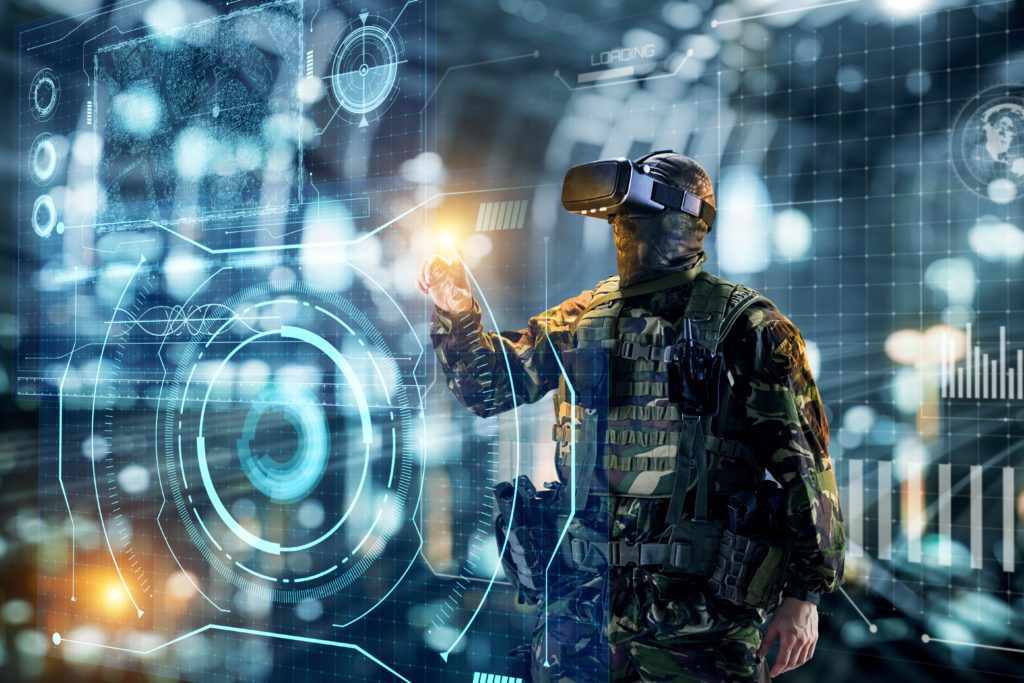
Saurabh Rai, CEO of Arahas, proposed a compelling vision for the future of Indian defense. He advocated for the integration of AI, VR, and autonomous weapon systems with the strategic expertise of human personnel. This synergy, according to Rai, has the potential to revolutionize Indian military capabilities.
The fusion of these advanced technologies promises to enhance the precision and efficiency of military operations. Furthermore, it can equip soldiers with the agility and resilience necessary to navigate the complexities of contemporary warfare. This forward-thinking approach, as Rai emphasized, positions India at the forefront of modern military strategy.