SOURCE: AFI
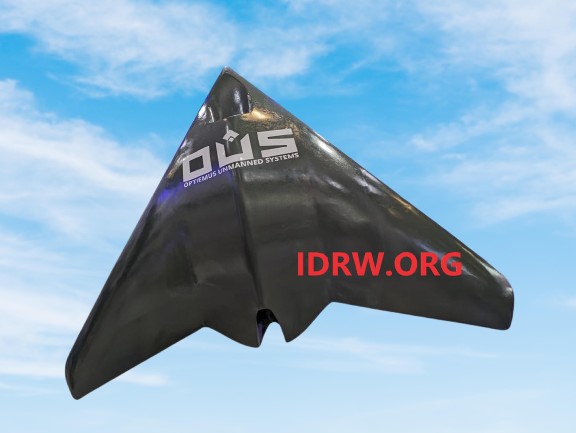
Optiemus Unmanned Systems (OUS), a subsidiary of Optiemus Infracom, has announced the development of its latest innovation in unmanned aerial technology—the OPTIEMUS Abhedya Unmanned System. The new platform is designed to cater to high-endurance missions, offering advanced capabilities in surveillance, geo mapping, and reconnaissance. With its stealth-shaped flying wing configuration and turbojet propulsion, the Abhedya UAV marks a significant leap in India’s indigenous unmanned aerial systems (UAS) sector.
These features allow the Abhedya to operate in both civilian and military environments, providing essential data for geo mapping, long-range surveillance, and monitoring critical infrastructure.
One of the standout features of the Abhedya is its stealth-shaped flying wing configuration, designed to minimize radar cross-section (RCS) and enhance the UAV’s survivability in hostile environments. This design reduces the likelihood of detection, making the Abhedya suitable for sensitive missions where undetected operation is crucial, such as border surveillance or covert reconnaissance.
The flying wing configuration also optimizes aerodynamics, allowing for greater stability and endurance at high altitudes. Combined with turbojet propulsion, the Abhedya can perform at a maximum operational altitude of 9,000 meters, making it ideal for missions in rugged terrains like mountainous regions or high-altitude conflict zones.
The Command & Control (C2) system of the Abhedya has a range of 100 km, offering operators significant flexibility in mission planning and execution. This extended range ensures that the UAV can operate far from its ground control station, making it suitable for use in vast, hard-to-reach areas that require constant monitoring, such as large industrial facilities, oil pipelines, and border regions.
With a payload capacity of 30 kg, the Abhedya can be equipped with a variety of sensors and equipment tailored to specific mission needs. This includes high-resolution cameras, infrared sensors, LiDAR systems, and other advanced imaging technologies, making it an ideal platform for geo mapping and surveillance missions. The endurance of 60+ km ensures that the UAV can conduct prolonged operations without the need for frequent refueling or maintenance, further extending its operational utility in long-range missions.
According to Optiemus Unmanned Systems, the Abhedya is purpose-built for geo mapping and surveillance applications. Its high operational altitude and extended endurance allow for detailed aerial surveys of large areas, making it particularly useful for infrastructure planning, environmental monitoring, and disaster management. The payload versatility means that the UAV can be equipped with specialized sensors to gather accurate data for topographic mapping, resource monitoring, and even agricultural assessments.
Key Specifications of the OPTIEMUS Abhedya
The Abhedya is a turbojet-powered unmanned aerial vehicle (UAV) boasting impressive technical specifications that make it highly adaptable to a variety of mission profiles:
Configuration: Stealth-shaped flying wing
Maximum Take-Off Weight (MTOW): 90 kg
Command & Control (C2) Range: 100 km
Maximum Operational Altitude (AMSL): 9,000 meters
Payload Capacity: 30 kg
Endurance: 60+ km